
Sikkim launches Himalayan GLOF Expedition to study high-risk glacial lakes
Officials said that this joint effort is not only a scientific journey but also a safety mission aimed at preventing future disasters like the tragic South Lhonak lake outburst in 2023, which caused severe damage and loss of lives in the Teesta river basin.
LOCAL
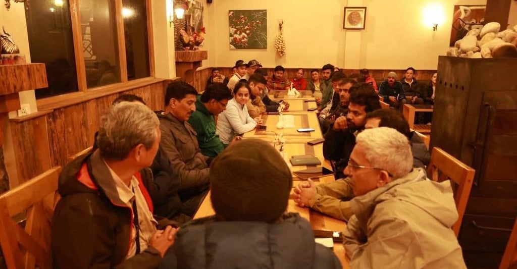
Sikkim has taken a big step towards protecting its mountains and people with the launch of a large scientific expedition in Mangan district. From August 20 to September 10, 2025, a team of more than 35 experts from across the country will climb to the icy heights of North Sikkim to study six dangerous glacial lakes that pose a threat of Glacial Lake Outburst Floods (GLOFs).
The expedition has brought together scientists and specialists from six leading national institutes—Central Water Commission (CWC), Central Water and Power Research Station (CWPRS), National Institute of Hydrology (NIH), Geological Survey of India (GSI), Defence Geoinformatics Research Establishment (DGRE), National Institute of Disaster Management (NIDM)—along with faculty from Sikkim University. In addition, six state government departments, the Army, the Indo-Tibetan Border Police (ITBP), and members of the local community are also part of the mission.
Officials said that this joint effort is not only a scientific journey but also a safety mission aimed at preventing future disasters like the tragic South Lhonak lake outburst in 2023, which caused severe damage and loss of lives in the Teesta river basin.
To carry out this difficult task, the teams are using some of the most advanced technologies available today. These include Electrical Resistivity Tomography (ERT) surveys to study the hidden structures beneath the earth, bathymetry to measure the depth of lakes, and drone-based 3D mapping of the mountain terrain. These modern tools will help the experts build accurate models of how water could burst out if a glacial lake overflows or bursts its boundaries.
The data will then be used to prepare GLOF hazard models, design retention and protection structures, and suggest Early Warning Systems (EWS). The goal is to create a complete mitigation plan that can help the state act before disaster strikes.