
Dry weather dominates Sikkim; light snowfall expected in higher altitudes
From December 19 to December 25, upper-air cyclonic circulations influenced the weather in northeast India, including Sikkim.
LOCAL
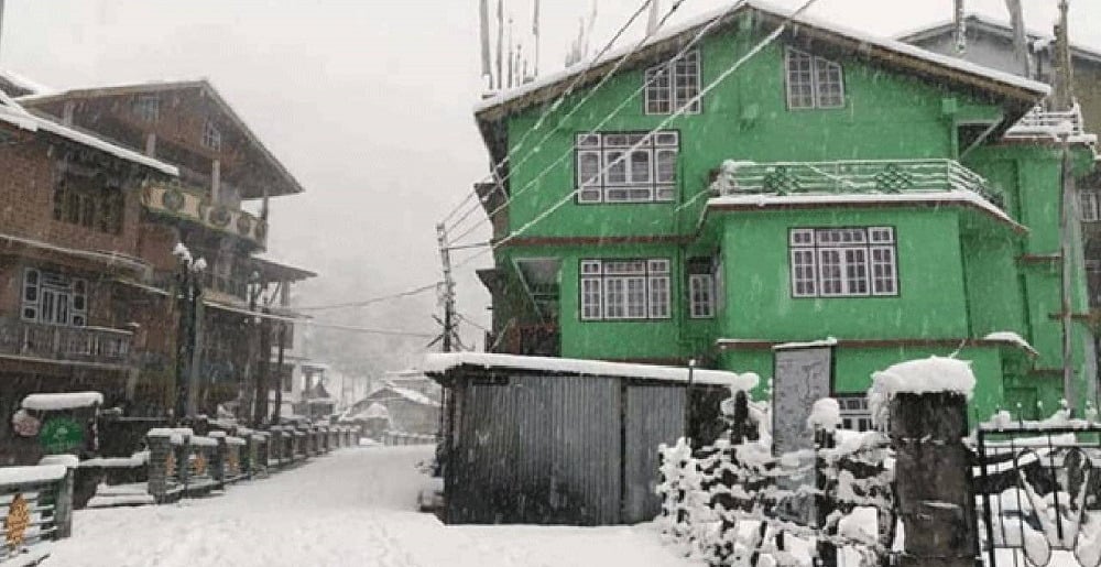
The India Meteorological Department (IMD) has issued a comprehensive weather bulletin for Sikkim outlining significant synoptic situations, observed rainfall patterns and a forecast for the coming weeks. While most of the state has experienced dry weather over the past week, light snowfall is anticipated in higher-altitude areas in the days ahead.
From December 19 to December 25, upper-air cyclonic circulations influenced the weather in northeast India, including Sikkim. A cyclonic circulation over northeast Assam persisted at various altitudes, contributing to localized weather changes. However, despite these conditions, Sikkim saw little precipitation with dry weather prevailing in most districts.
Rainfall activity was sparse during the week with Gangtok and Mangan reporting light rain on December 23. The remaining districts, including Pakyong, Gyalshing, Soreng, and Namchi, recorded no significant rainfall during this period. Temperatures across the state remained stable, with Gangtok experiencing an average maximum temperature of 14°C and a minimum of 7°C. Pakyong recorded slightly higher temperatures, with highs of 17.6°C and lows of 7.3°C, while Mangan saw a maximum of 16.1°C and a minimum of 7.8°C.
The forecast for the next seven days indicates mostly dry conditions across Sikkim. However, light to moderate snowfall is expected in higher-altitude regions, particularly in areas like Mangan and Gangtok, on December 29 and 30. Other districts are likely to remain dry during this period, with no significant weather activity anticipated.
Looking ahead, the IMD predicts normal rainfall patterns for the state over the next two weeks. Minimum temperatures are expected to remain below normal during this period, bringing colder nights.